

BIM Documentation Services in Staten Island, NY
At 3D Property Scan, we turn a laser scan of your Staten Island building or job site into an accurate BIM Documentation model of existing conditions, ready to drop into your project workflow. Whether you’re planning a renovation in a Victorian in Old Town, a commercial fit-out near St. George, or new construction along Hylan Boulevard, we capture what’s actually there instead of what the original drawings say should be there.
Call us at (833) 337-2267 to talk through your project, or request a quote below.

Why Architects and Contractors Need Accurate Existing Conditions in New York & New Jersey
Existing conditions documentation matters most in Staten Island because so much of the borough’s building stock predates modern permitting records. Many structures in neighborhoods like Old Town, Richmond, and Stapleton date back to the 1800s or earlier, and as-built drawings, if they exist at all, often don’t match what a contractor finds once walls open up. Renovation and addition projects that rely on outdated or missing drawings routinely run into change orders when framing, mechanical routing, or floor elevations don’t match assumptions.
Read More →
We solve this by scanning the actual structure and building a BIM model from that data, so your architects and engineers are designing against reality rather than a 1950s tax-map sketch or a set of drawings that never accounted for a prior renovation.
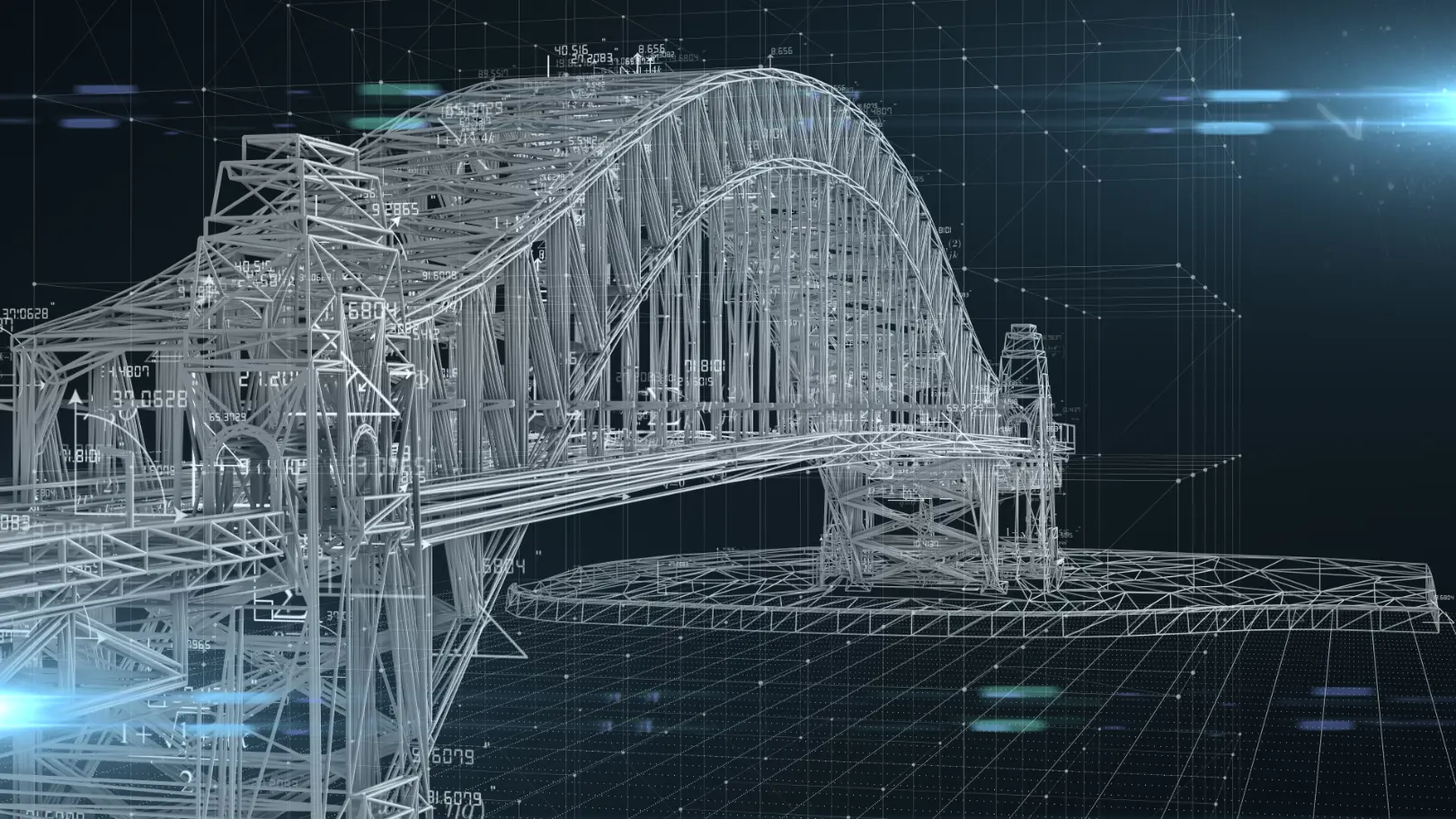
BIM Modeling for Existing Conditions
Our core BIM documentation service gives you a model of your building or site’s existing conditions, built directly from 3D scan data, so your design team can work with confidence from day one.
- Existing conditions BIM models: A coordinated 3D model reflecting real wall locations, floor-to-floor heights, roof geometry, and structural elements as they actually exist, not as originally drawn.
- Level of detail matched to your project: We scope the model to what your design phase actually needs, whether that’s a schematic-level shell or a more detailed model for MEP coordination.
- Compatible file delivery: Models delivered in formats your architecture, engineering, or contracting team already works in, so the handoff into your existing BIM workflow is straightforward.
- Site and building documentation together: For projects that involve both interior renovation and site work, exterior conditions like grading, drainage, and adjacent structures can be captured in the same scan pass.
How Do You Get CAD Drawings From a 3D Scan?
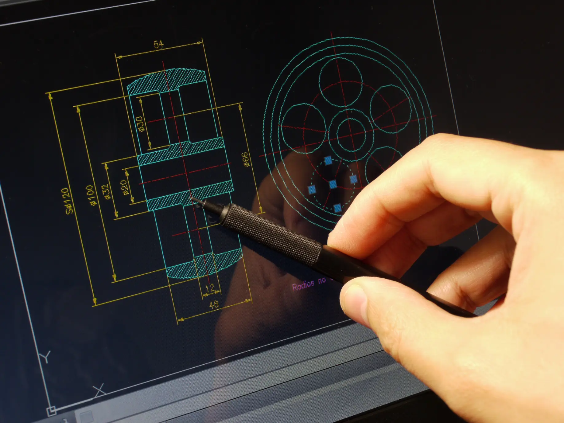
CAD drawings from a 3D scan come from processing the point cloud data captured during the laser scan into 2D plans, elevations, and sections at the scale and detail your project requires. Once we scan a space, the raw point cloud is registered and cleaned, then our team extracts floor plans, reflected ceiling plans, elevations, or sections directly from that verified geometry, so every dimension on the drawing traces back to a real measurement rather than a field-tape estimate.
This matters for Manhattan projects in particular because so many buildings, especially in older sections of the North Shore and Richmond, have settled, been altered, or been added onto over decades. A scan-to-CAD workflow catches the out-of-square walls, uneven floor elevations, and mismatched additions that a quick field measurement would miss.
Who Relies on Our BIM and CAD Documentation
We work directly with the professionals who need existing conditions data to move a project forward, including:
- Architects designing renovations, additions, or adaptive reuse projects who need a reliable starting model instead of outdated drawings.
- Structural and MEP engineers coordinating new systems against real ceiling heights, existing ductwork, and structural elements.
- General contractors and construction managers who need accurate documentation before bidding or breaking ground, to avoid change orders tied to field discrepancies.
- Developers evaluating properties across Staten Island’s East Shore, North Shore, and South Shore who need fast, accurate baseline documentation before committing design resources.
How Our BIM Documentation Process Works
Our BIM documentation process starts with an on-site 3D laser scan and ends with a coordinated model or drawing set delivered in the format your team needs, typically within days depending on project size and scope.
- Site scan: Our team scans the interior, exterior, or both, depending on your project’s scope, capturing millions of data points that record the true geometry of the space.
- Point cloud registration: Scan data is registered into a single coordinated point cloud that becomes the source of truth for everything that follows.
- Model or drawing production: Depending on what you need, we build a BIM model of existing conditions, extract 2D CAD drawings, or both from the verified point cloud.
- Delivery and coordination: Files are delivered in the format your design team already uses, so the data drops directly into your project workflow.
Documenting New York & New Jersey’s Mix of Old and New Construction
Staten Island presents a particular documentation challenge: it’s a borough where 17th and 18th century farmhouses in Richmond Town sit a few miles from mid-century commuter housing in Old Town and newer commercial development near the St. George ferry terminal and Bayonne Bridge corridor. Renovation and adaptive reuse work on the island frequently involves buildings that have been altered multiple times without updated drawings to match, from additions in Stapleton’s historic districts to industrial conversions along the Richmond Terrace waterfront.
Because the borough sits across the harbor from Manhattan and depends on the Staten Island Ferry and Verrazzano-Narrows Bridge for access, project timelines here often can’t absorb the delays that come from discovering field discrepancies mid-construction. Getting an accurate existing conditions model before design work begins helps keep projects across the North Shore, East Shore, and South Shore on schedule, whatever the local Building Department review process ultimately requires.
Key Facts About Existing Conditions Documentation in New York & New Jersey
- Staten Island’s older neighborhoods, including sections of Richmond Town, Old Town, and Stapleton, include structures with foundations and framing dating back well over a century, where original drawings are often incomplete or missing entirely.
- Waterfront and low-lying areas of the East Shore and South Shore have specific grading and drainage considerations that matter for site documentation, particularly on projects that include exterior work.
- Buildings altered during the borough’s mid-20th-century suburban growth period frequently show discrepancies between original permit drawings and actual as-built conditions.
- Projects near designated landmark structures or historic districts, such as those overseen by the city’s Landmarks Preservation Commission, often require especially precise existing conditions documentation to support the review process.
Common Problems Our Scan-To-BIM Process Catches Early
- Out-of-square walls and settled foundations: Common in older Staten Island housing stock, these throw off measurements taken by hand but show up clearly in scan data.
- Undocumented prior renovations: Additions or alterations that were never recorded in permit drawings, which our scans capture as they actually exist today.
- Inconsistent floor-to-floor heights: Especially relevant in multi-story buildings that have been added onto over multiple decades.
- Mismatched ceiling and duct clearances: A frequent issue on renovation projects where new MEP systems need to be coordinated against real, not assumed, ceiling heights.
Related Services for Your Project
BIM and CAD documentation is one piece of what we offer Staten Island architecture, construction, and real estate clients. We also provide 3D virtual walkthrough tours, aerial drone photography, and Google Maps integration for properties and job sites across the borough. If your project also needs point cloud data for architects and engineers building their own models, ask us about our point cloud services.
Frequently Asked Questions About
BIM Documentation in Staten Island
A BIM model built from a 3D laser scan is typically accurate to within a fraction of an inch, since it’s generated directly from measured point cloud data rather than field estimates. That level of precision is what makes scan-based models reliable for coordinating new construction, MEP routing, or renovation design against a building’s real, current geometry.
Whether you need a full BIM model or just CAD drawings depends on your project’s complexity and your design team’s workflow. A full BIM model makes sense for projects with multiple trades that need to coordinate systems in 3D, while 2D CAD drawings are often sufficient for simpler renovation or permitting work. We can scope either option, or both, based on what your architect or engineer specifies.
Scanning and documenting a typical building takes anywhere from a single day for a smaller residential or commercial space to several days for a larger or more complex site, with model or drawing delivery following shortly after. Exact timing depends on square footage, the level of detail required, and whether both interior and exterior conditions need to be captured.
Yes, we regularly document buildings in historic districts and landmarked structures, where the precision of a laser scan is especially valuable for supporting design review. Because scan data captures existing conditions exactly as they are, it gives architects and preservation consultants a reliable baseline when working through landmarks review processes.
We serve the entire borough, from the North Shore communities near St. George and Port Richmond to the South Shore and East Shore neighborhoods along Hylan Boulevard and the coast. We also work throughout the greater New York and New Jersey area for architecture, construction, and real estate clients with similar documentation needs.